TOPICS 1
GEOMATICS and AI.
- Smart solutions for sustainable water, soil and air management
- Geospatial data for Sustainable Development of agricultural resources.
- Assessment Approaches for land use, land cover (Agrogeomatic)
- Monitoring environment and climate changes indicators
- Natural Resources and Environment management
TOPICS 2
SPATIOTEMPORAL MONITORING AND 3D MAPPING
- Real Time monitoring and embedded system
- 3D Survey and Mapping
- Geodesign and Urban 3D
- Solar land Modelling
- Building Information Modelling for Sustainable Development
TOPICS 3
HERITAGE AGAINST CLIMATE CHANGE
- Augmented reality for heritage simulation
- Climate change Impact on heritage
- Digital photogrammetry and rebuilding the monument
- Revisited Tourism
- WEB-GIS applications
KEYNOTES
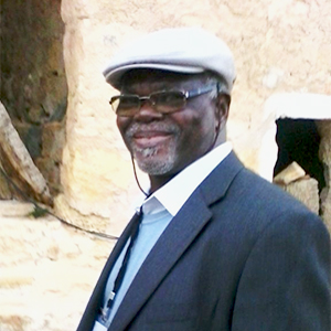
- Michel Kasser
- Geomatic Industry Survey.
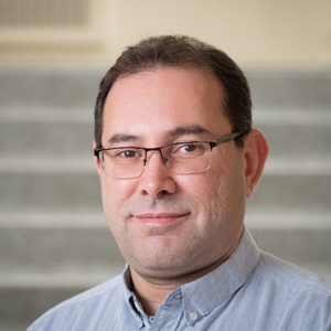
- Yacine Bouroubi
- Artificial Intelligence and Big EO data applications: case studies
- Michel Boko
- Contemporary Climate Change: factors and impacts
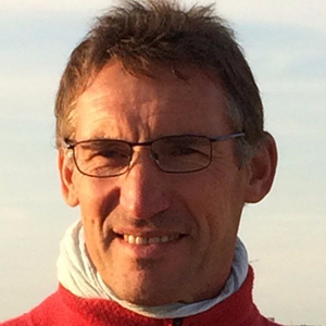
- Pierre Grussenmeyer
- Architectural photogrammetry and applications of heritage documentation
- Faouzi Ghorbel
- Geometric Statistic: Methods and applications
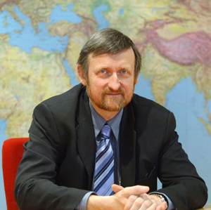
Michel Kasser
geodesist and geomatician Specialized in geodesy, geographic sciences
the National School of Geographical Sciences (ENSG)
